Product Overview
Introduction
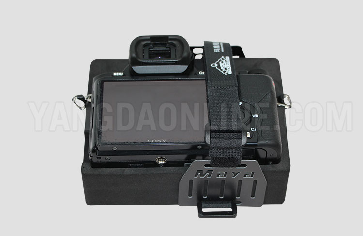
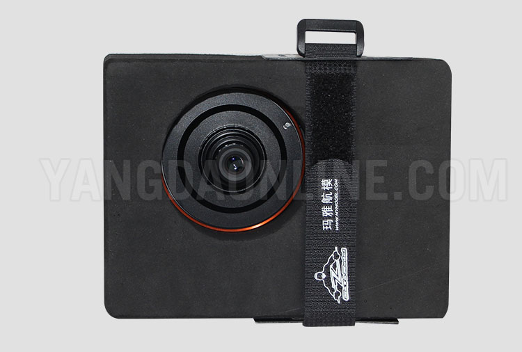
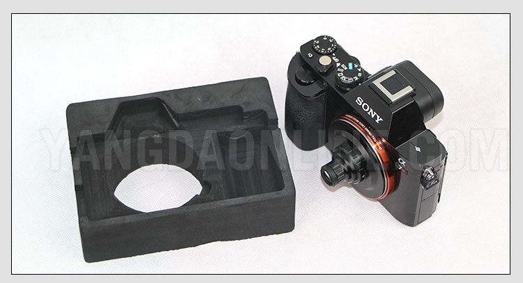
To fulfill your needs in different mapping tasks, YANGDA is offering these mapping cameras: SONY RX1R-II/A7R/A6000.
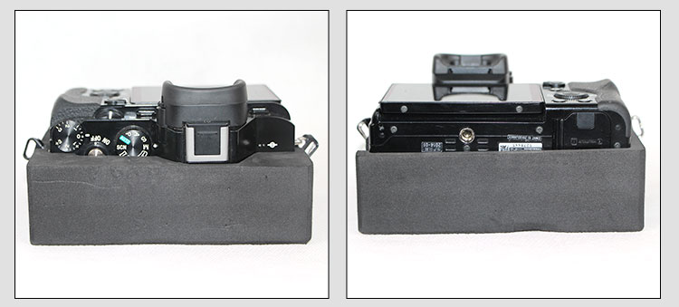
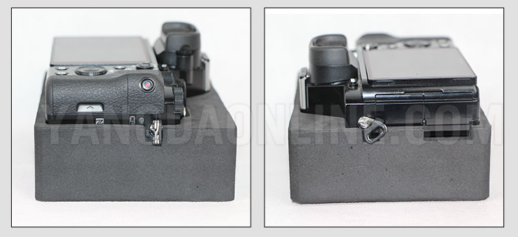
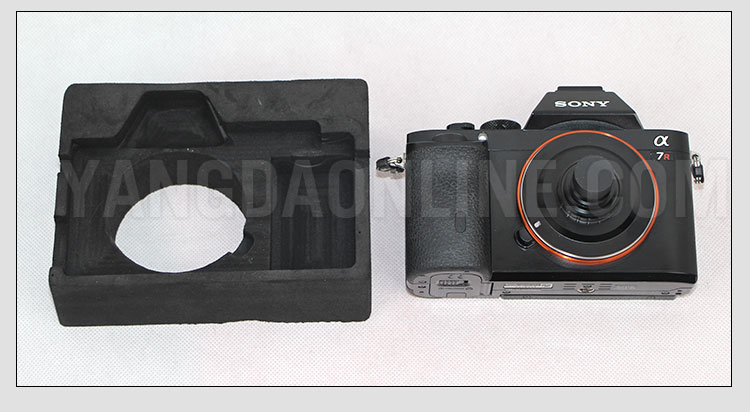
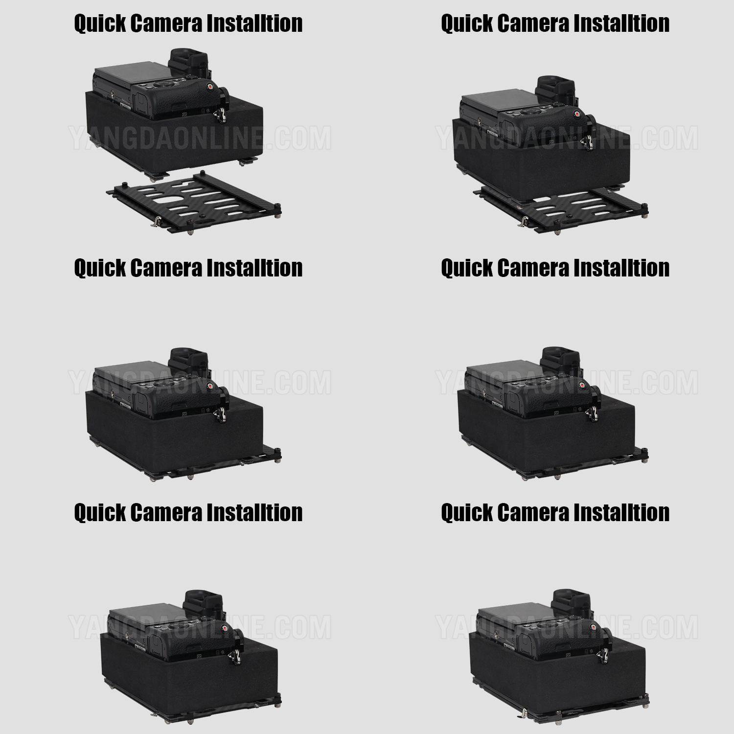
Each camera will come with an anti-vibration holder and a swap board for quick installation.
RTK/PPK system
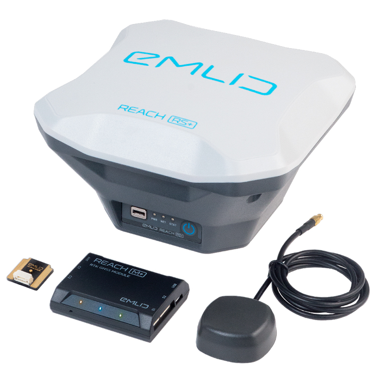
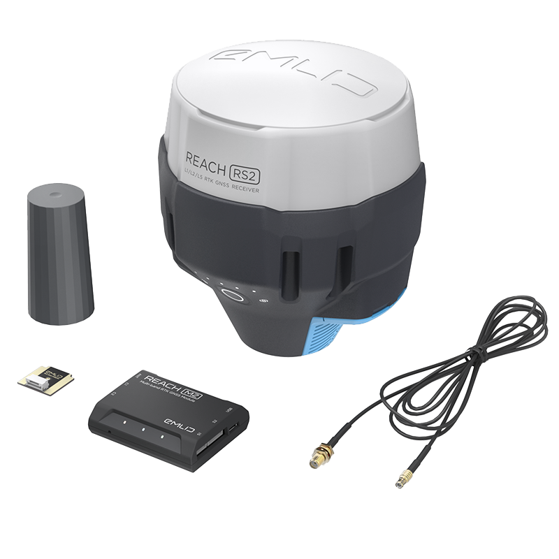
For high accuracy mapping missions, YANGDA is working with Emlid Reach RTK/PPK system to offer you data accuracy down to 1cm. The setup for the RTK/PPK and flight controller will be completed before the shipping. Two UAV mapping kits are availabe: REACH M+ UAV mapping kit, and REACH M2 UAV mapping kit.
Specification
SONY mapping camera
| Camera | Sensor | Number of pixels (effective) | Size (L x W x H) |
| RX1R-II | 35 mm full frame (35.9 x 24.0 mm), Exmor R® CMOS sensor | Approx. 42.4 MP | 113.3*65.4*72 mm |
| A7R | 35 mm full frame (35.9 x 24 mm) Exmor® CMOS sensor | 36.4MP | 126.9*94.4*54.8 mm |
| A6000 | 24.3 MP Exmor® APS HD CMOS sensor | Approx. 24.3 megapixels | 120*66.9*45.1 mm |
Your Purchase Includes
SONY Mapping Camera
1 x Camera with 35mm lens
1 x Anti-vibration holder
1 x Swap board
1 x Trigger cable
M+ UAV Mapping Kit
1 x Reach RS+
1 x Reach M+
1 x Tallysman multi-GNSS antenna
1 x Camera hot shoe adapter
1 x Carry case
1 x Radio antenna
1 x Adapter for survey pole
2 x USB cables
1 x USB-OTG cable
1 x JST-GH 6-pin to jumper pin cable
1 x JST-GH 5-pin to jumper pin cable
M2 UAV Mapping Kit
1 x Reach RS2
1 x Reach M2
1 x Multi-band GNSS antenna
1 x Reach M+/M2 SMA antenna adapter cable 0.5m
1 x Camera hot shoe adapter
1 x Radio antenna
1 x Carry case with a strap
1 x USB Type-C cable
1 x Micro-USB cable
1 x JST-GH 6-pin to jumper pin cable
1 x JST-GH 5-pin to jumper pin cable
Product Photos
